Frequently Asked Questions
Q: What does Numbers 34:8 mean in the context of the Torah?
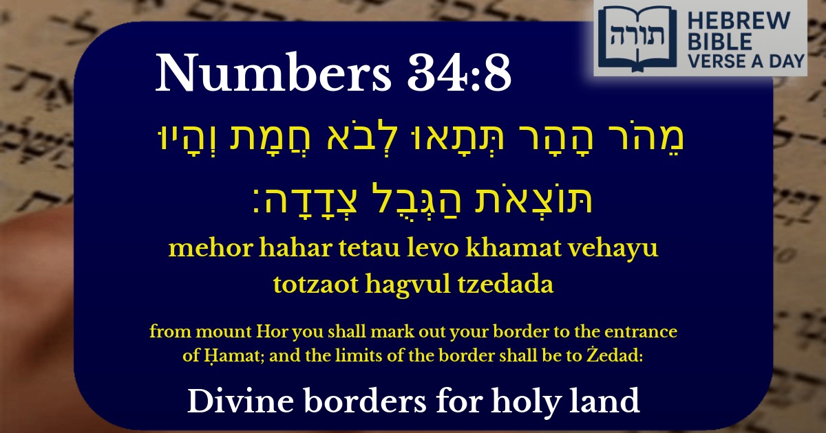
A: Numbers 34:8 describes part of the northern border of the Land of Israel as it was designated for the Israelites. According to Rashi, Mount Hor mentioned here is different from the one where Aaron died; it refers to a mountain marking the northern boundary. The verse specifies the border extending toward Hamat (a region in modern-day Syria) and Tzedad, helping define the promised land's limits.
Q: Why is defining the borders of Israel important in the Torah?
A: Defining the borders of Israel is crucial because it establishes the extent of the land promised by Hashem to the Jewish people (Genesis 15:18–21). The Rambam (Hilchot Terumot 1:2) explains that these boundaries determine where certain mitzvot tied to the land apply, such as terumot and ma'aserot (agricultural tithes). The precise borders ensure clarity in halachic observance.
Q: How do we know where these biblical borders are located today?
A: Identifying the exact locations today is subject to discussion among Torah scholars. Traditional Jewish sources like the Talmud (Gittin 8a) and Rashi provide interpretations based on geographical clues, but some names (like Hamat and Tzedad) refer to ancient places that may not correspond exactly to modern cities. Jewish commentators rely on mesorah (tradition) and historical texts to approximate these boundaries.
Q: Does this verse have any relevance for Jews today?
A: Yes, this verse remains relevant because the borders of Eretz Yisrael impact halachic rulings, such as where certain mitzvot apply (e.g., shmita—the sabbatical year). Additionally, the promise of the land is a foundational concept in Judaism, as mentioned in daily prayers and blessings. The Ramban (Nachmanides) emphasizes that settling the land is a mitzvah tied to these boundaries.
Q: What can we learn from the detailed description of Israel's borders in the Torah?
A: The detailed borders teach us that Eretz Yisrael is a gift from Hashem with defined parameters, reflecting precision in divine promises. The Talmud (Sotah 34b) notes that Moshe’s clarity in describing the land shows the importance of clarity in mitzvot. It also reminds us of our historical and spiritual connection to the land, as emphasized by Jewish tradition throughout the ages.


Geographical Context in the Torah
The verse (Bamidbar 34:8) delineates the northern border of Eretz Yisrael as part of the detailed description of the land's boundaries given to Bnei Yisrael. Mount Hor (הֹר הָהָר) is identified by Rashi as a mountain near the border of Edom, distinct from the Mount Hor where Aharon HaKohen passed away. The border extends northward to "the entrance of Chamat" (לְבֹא חֲמָת), which Ramban explains refers to the region of Antiochia in Syria, known in ancient times as Chamat.
Interpretation of the Borders
According to the Talmud (Gittin 8a), the borders described here represent the ideal boundaries promised to Avraham Avinu in Bereishit 15:18, though in practice, Bnei Yisrael did not fully conquer all these areas during the First Temple period. The Sifrei emphasizes that these boundaries were given as a future promise, contingent upon Bnei Yisrael's merit.
The Significance of Tzedad (צְדָדָה)
Tzedad is identified by Rashi as a city at the northern extremity of Eretz Yisrael. The Radak notes that this location marked the practical limit of Israelite settlement during certain periods. The precise identification is debated among commentators, with some associating it with modern-day Sadad in Syria.
Halachic Implications
Messianic Dimension
The Malbim explains that the full realization of these borders will only occur in the Messianic era, based on Yechezkel's prophecy (47:15-20) which expands upon these boundaries. This reflects the principle that the ultimate borders will be established when Mashiach comes and the full glory of Eretz Yisrael is revealed.